


Site and soils
Building Over Old Coal Mines in Erie, Lafayette and Louisville
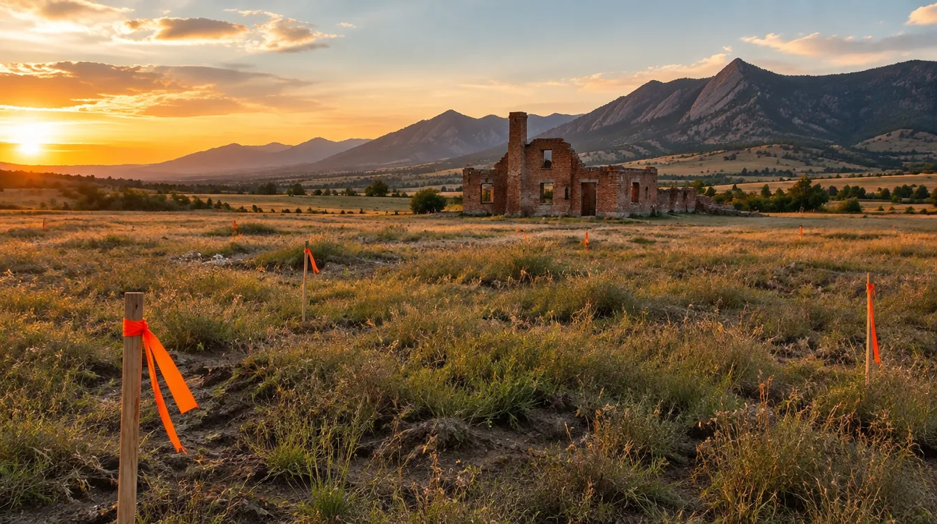
Parts of Erie, Lafayette and Louisville sit over the Boulder-Weld coalfield, where coal was mined underground for roughly a century. The Colorado Geological Survey has studied subsidence there and notes that development has moved into undermined areas, and that the amount and area of future subsidence cannot be predicted with certainty from the records available. If you are buying a lot or planning a build in these towns, these are the questions to ask before you commit, and what each answer means for the project.
Where is the old coalfield?
The Boulder-Weld coalfield lies under parts of Boulder and Weld counties, and the three towns most closely tied to it grew up as mining communities. Louisville began as a coal mining town in 1877 and was incorporated in 1882. In Lafayette, coal was found on the Miller farm in 1884, and the last mine in town, the Black Diamond, closed in 1956. Erie's first official underground mine opened in 1876; most area mines had closed by 1960, and the Eagle Mine closed in 1978.
Those dates matter because the mines closed decades ago, and the survey's caution is that the records available for them cannot tell anyone exactly how much, or where, the ground over them will move.
What is mine subsidence?
Underground mining leaves voids where the coal was removed. Over time the rock above a void can sag or collapse, and the ground surface can settle as a result. At the surface that can show up as a broad, gradual sag or as a more sudden, localized hole. For a building, the concern is uneven movement: one part of a foundation settling more than another, which cracks walls and slabs and racks door and window openings.
How do I find out whether a lot is undermined?
Start with public information, then bring in an engineer:
- Read the Colorado Geological Survey's publications on the Boulder-Weld coalfield and its homeowner information on subsidence over inactive coal mines.
- Ask the town's planning or building department whether the parcel falls in a mapped undermined area and whether any study is required with a permit.
- Review the subdivision's development file if it is a newer neighborhood. Studies done for the subdivision can describe the mined areas below it.
- Have a geotechnical engineer review the site. Tell them up front that the property may be undermined, so the investigation is scoped for it.
Will insurance cover subsidence damage?
Do not assume so. The Colorado Geological Survey notes that damage from subsidence over inactive coal mines is not covered by standard homeowner insurance policies. Ask your insurance agent, in writing, what your policy covers and whether any separate coverage is available for the property before you close or start construction.
If the lot is undermined, can we still build?
That is a question for the geotechnical engineer, and the answer depends on what the investigation finds: how deep the workings are, how much rock lies above them, and how confident the engineer can be about their extent. The engineer may recommend more investigation before giving foundation recommendations, and the structural design then follows those recommendations. From the owner's side, the practical point is timing. These answers come before design, because they can change the foundation, the footprint or whether the lot suits the building at all.
Undermining also adds to the usual Front Range soil question. The same survey maps potentially swelling soil and rock across the corridor, including these towns, so a site here can need both a soils report for expansive clay and an evaluation of the old mines.
Does this affect remodels and additions?
A remodel inside an existing footprint does not usually raise new foundation questions. An addition does, because it puts new foundations on ground that has not been evaluated for the new loads. Treat an addition in the coalfield the way you would a new house: an investigation for the addition's footprint, then a design that follows it.
Is this only a Boulder County issue?
No. Colorado Springs' development code, for example, requires a Geologic Hazard Study unless waived, and a waiver is not available in areas the Colorado Geological Survey maps for mine subsidence. Undermined ground exists elsewhere in the state, but the Boulder-Weld coalfield is the one that sits under the growing towns on the northern side of the metro area.
Where we come in
During pre-construction planning we line up the investigation, the engineer's recommendations and the design so that the foundation answer arrives before drawings and pricing are final. Our town guides cover the local permit offices and codes for Erie, Lafayette and Louisville. If you have a lot in the coalfield, send the address through our consultation request before you finalize the purchase or the plans.
Request a consultation to talk through a project on the Front Range.
More from the blog
 Wildfire Codes on the Front Range in 2026: Which Cities Adopted WhatWhich Front Range cities use the Colorado Wildfire Resiliency Code, the IWUIC or their own wildfire code in 2026, and a checklist for owners.
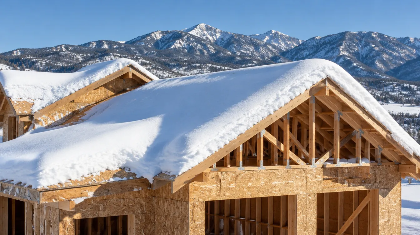 Snow Loads Along the Front Range: Why Your Roof Is Designed for Your AddressPublished ground snow loads from Colorado Springs to Fort Collins, from 30 to 69 psf, and what a higher number changes in roof framing and beams.
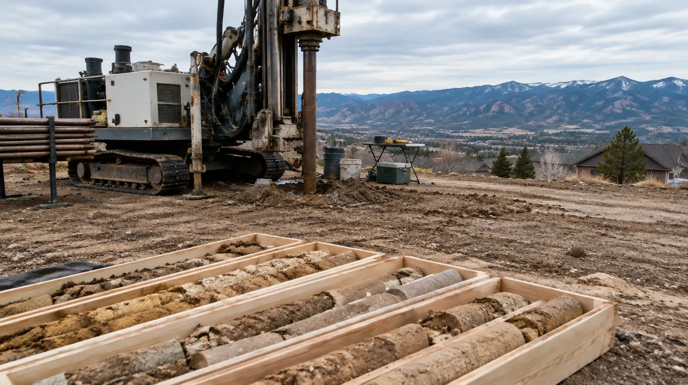 Expansive Soils on the Front Range: What a Soils Report Tells YouFront Range ground can swell. A section-by-section guide to the geotechnical soils report: borings, swell tests, foundations, slabs and drainage.